Archiwalne
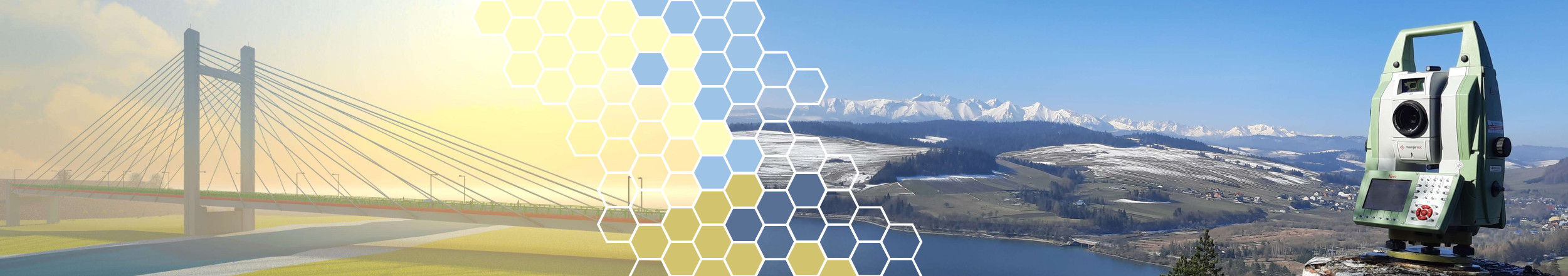
- ISMOP - Informatyczny System Monitorowania Obwałowań Przeciwpowodziowych
Badania w zakresie opracowania kompleksowego systemu monitorowania stanu statycznego i dynamicznego ziemnych obwałowań przeciwpowodziowych w trybie ciągłym, z możliwością symulacji zachodzących zmian strukturalnych oraz szacowaniem ryzyka ich uszkodzenia - https://ismop.ki.agh.edu.pl/pl/frontpage
- Badania kinematyki powierzchniowych ruchów masowych z wykorzystaniem naziemnej interferometrii radarowej
- Development of rules for determining vibrations and displacements of engineering structures with the use of radar interferometry
- Development of the principles of quantitative determination of thermal properties of building partitions using the thermal imaging technique
- Influence of the resolution of wave methods on the quality of recognition of the limits of the discontinuity of a landslide
- The use of the integrated GPR-GPS system in the process of supplementing the content of thematic maps of subsurface structures
- Study of the usefulness of the radar method in geodetic inventory of subsurface structures and objects
- Geodetic and gravimetric studies of the salt rock mass subjected to geodynamic deformations as an element of the assessment of the suitability of the post-mining area for the purposes of spatial development
- Assessment of suitability for development of areas at risk of discontinuous deformations using geophysical methods
")
")