")
")

![]()
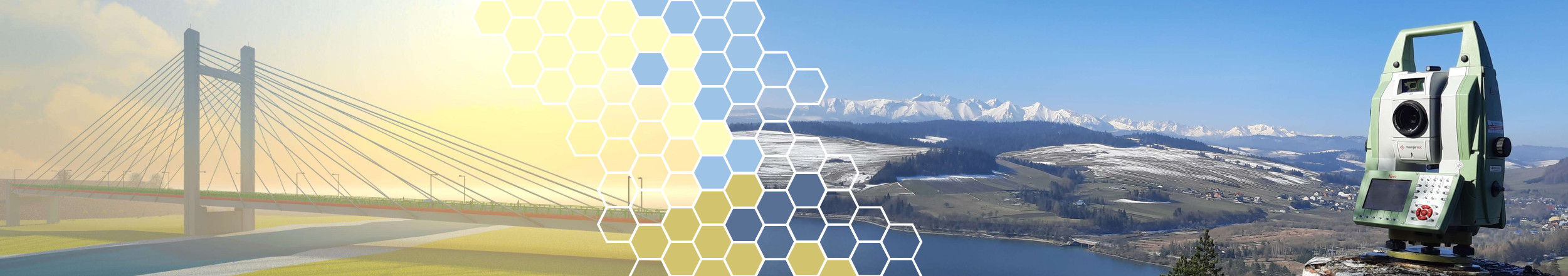
The ITCE team conducts research in the field of ground monitoring of buildings and land surface. Due to the large variety of observed phenomena, we use in our activities various measurement techniques:
- Remote sensing techniques - The advantage of these solutions, in particular ground-based synthetic aperture radar interferometry (GB-SAR) and terrestial laser scanning (TLS), is primarily the high resolution of the acquired data. The observed object is represented in a discrete form using a set of pixels or point clouds, giving a complete digital image of the object, as well as the possibility of determining its displacements and deformations.
- Electronic sensors - These allow relative measurements to be made with high accuracy and frequency. The parameters measured are e.g. displacement or acceleration. Miniaturization of measuring devices gives great opportunities in the field of monitoring the condition of buildings.
- Classic geodetic techniques - The unquestionable advantage of precision total station tacheometry or the global navigation satellite system positioning (GNSS) is the ability of expressing the observation results in an external reference system for the tested object. Moreover, modern geodetic equipment allows for automatic observations.
Taking into account the specificity of individual measurement techniques, a very large potential lies in their integration. The resolution of remote sensing techniques, the accuracy of sensors and the referentiality of geodetic techniques are features that, combined in automated systems, allow to conduct integrated monitoring.