Tomasz Owerko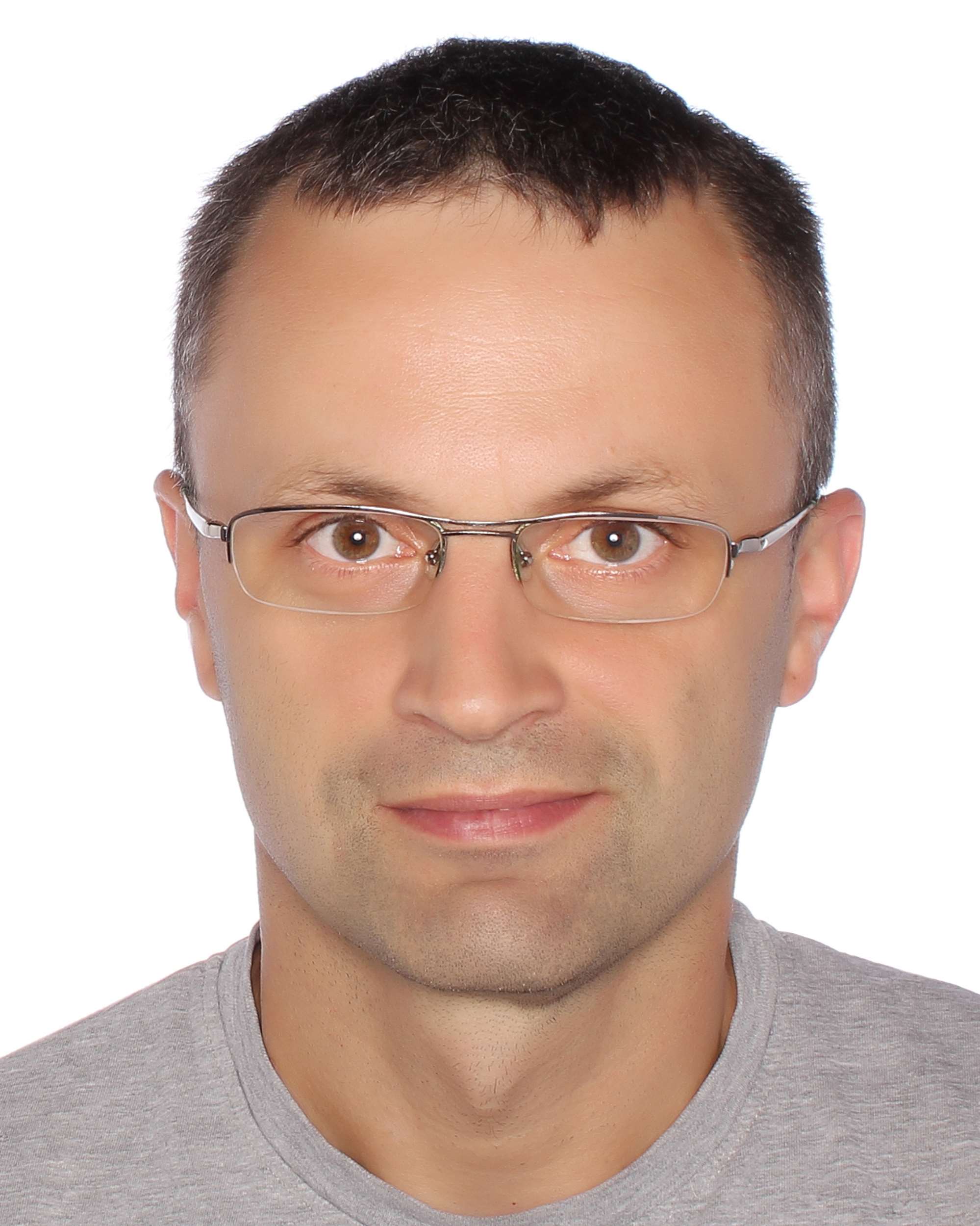
Associate Professor
Researcher employed as a professor at AGH Krakow. Graduated with honors from AGH - Geodesy and Cartography (WGGiIŚ AGH) and Software Engineering (WEAIiIB AGH).
Professional experience including: Photogrammetric team leader (projects for US market, responsible for cooperation with engineering teams from US, Canada and India), surveying engineer at the biggest construction projects in southern Poland.
Leader of many research carried out for industrial and research units (CADMost Gliwice, Aspekt Laboratory Jaworzno, Laboratory System Bielsko, Institute of Nuclear Physics Polish Academy of Science – The Leading National Research Centre , Institute of Geography and Spatial Organization Polish Academy of Sciences, KGHM). A scholarship holder of the Top 500 Innovators program at Stanford University (USA). Head of research work carried out on behalf of GDDKiA on bridge structures, particular responsible for UAV technology, laser scanning and BIM in the projects. Member of the consultants team of the first pilot program implemented by GDDKiA in BIM technology, co-author of buildingSMART Individual Qualification. Participant of consultations at the Ministry of Infrastructure and Construction regarding the implementation of BIM technology. A member of the BIM STANDARD PL team.
Scientific interests includes: geospatial data processing, AI, BIM&GIS as well as engineering geodesy and deformation monitoring.
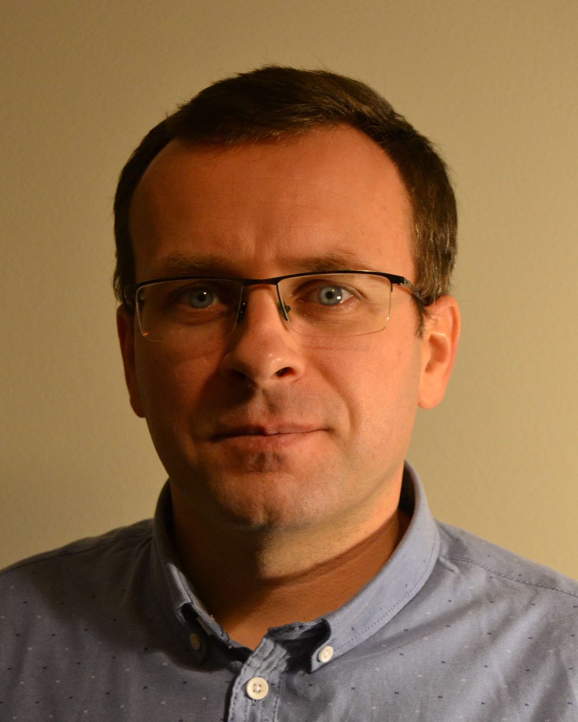
Łukasz Ortyl
Associate Professor
Scientific and didactic worker of the AGH University of Science and Technology as a university professor. A graduate of the Faculty of Mining Surveying and Environmental Engineering (AGH), specializing in geoinformation and remote sensing. PhD in the Department of Engineering Geodesy and Civil Engineering of the same faculty defended with distinction. Simultaneously with the preparation of the dissertation, professional work as the leader of the ground photogrammetry department for inventory and architectural documentation of historic, industrial and engineering buildings with the use of digital photogrammetry and terrestrial laser scanning (work carried out for clients from Poland, Europe and Asia).
A beneficiary and contractor of 10 grants at AGH University of Science and Technology in Krakow and the Polish Academy of Sciences. A manager and contractor of 30 research projects as well as industrial and administration orders (KWK "Krupiński", Copper smelter "Głogów", City Hall Sandomierz, Radzionków Heat Plant, KGHM, National Pantheon Foundation, CADMost Gliwice, Aspekt Laboratory Jaworzno, Laboratory System Bielsko, Institute of Nuclear Physics Polish Academy of Science - The Leading National Research Center, GeoTech Geological Services Department, Industrial Construction Company EMKA, Strabag).
An AGH project manager of the research grant funded by the National Centre for Research and Development (NCBiR) and the General Directorate for National Roads and Motorways (GDDKiA) implemented though the RID Joint Undertaking Competition (Road Innovation Developments) "Modern surveying methods for the ground substrate identification in road engineering".
A co-creator of original optional courses and BIM postgraduate studies. An author or co-author of 60 publications including 6 monographs and 2 textbooks focusing on non-destructive measurement technologies in engineering and industrial geodesy (electromagnetic locators, termography, acoustic probes, especially: Ground Penetrating Radar GPR and GB-SAR). An initiator of the cooperation between AGH University of Science and Technology in Krakow and Leica Geosystems Poland in the field of radar measurement methods in civil engineering.
Currently, the Deputy Dean for General Affairs and Cooperation at the Faculty of Mining Surveying and Environmental Engineering, AGH University of Science and Technology in Cracow.
In his spare time he takes care of bees, works for the local community in his place of residence, and wanders in the mountains with his daughters and their friends. He likes to hide in the meanders of Polish history through podcasts and books.
Przemysław Kuras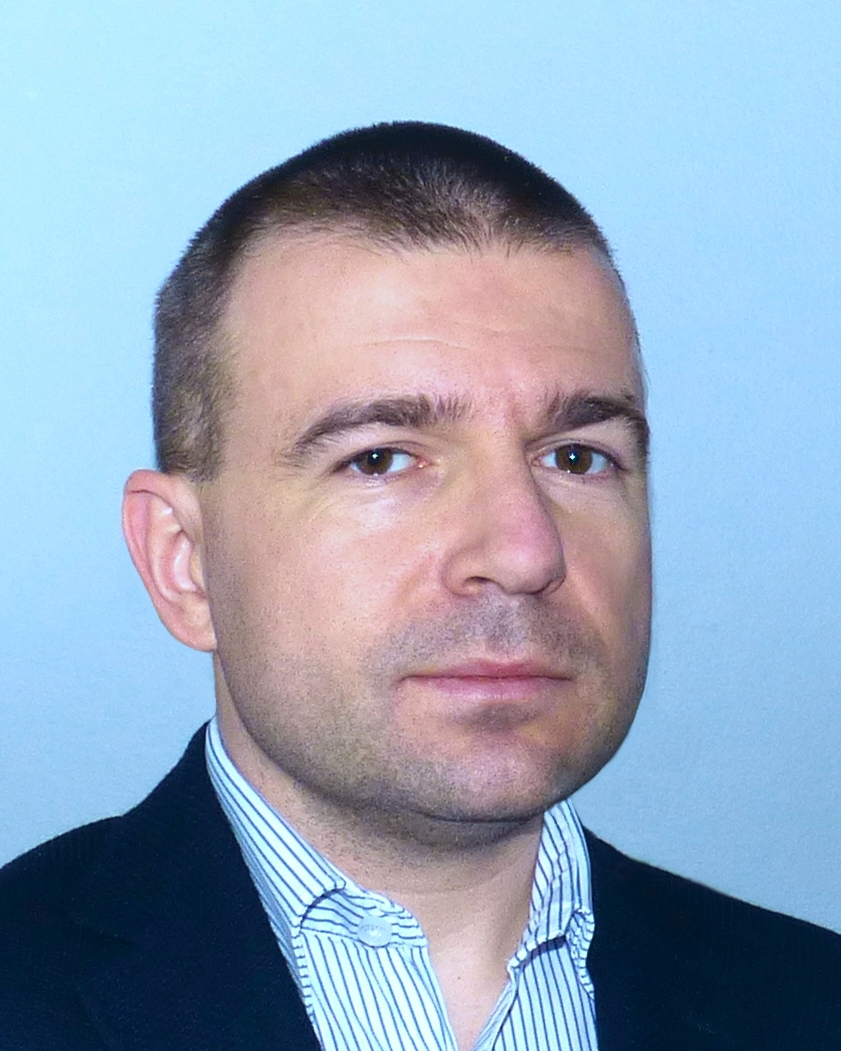
Assistant Professor
Researcher and teacher at AGH University of Science and Technology, employed as an assistant professor. Graduated in Geodesy and Cartography, specialty: Engineering Surveying and Industrial Surveying. Doctorate in the scientific discipline of Civil Engineering and Transport. Specialized in displacement monitoring with the use of surveying and remote sensing techniques, in particular radar and laser ones. Additional research interests: digital signal processing, vibration monitoring.
Leader or contractor of works for industrial and engineering companies: KGHM - Hydrotechnical Unit, Niedzica Hydroelectric Power Plant, KGHM - Głogów Smelter and Refinery, CADmost Laboratory, Aspekt Laboratory. Many studies in the field of hydrotechnical facilities displacement (water dams, post-flotation tailings reservoirs or flood embankments), as well as historic buildings, bridge structures and industrial chimneys impacted by the external loads.
Member of research teams carrying out projects for the state agencies: Ministry of Science and Higher Education, National Centre for Research and Development, General Directorate for National Roads and Motorways. The main topics of research: radar technique in vibration and displacement monitoring, flood embankments deformation, surveying techniques in subsoil recognition, automation of earthworks calculations.
Author of 60 publications focusing on displacement monitoring with the use of surveying and remote sensing techniques. Creator of original courses at BIM post-graduate studies. Teacher in the following subjects: displacement measurements, engineering surveying, BIM technology and electronic measurement technology. Supervisor of 120 diploma theses.
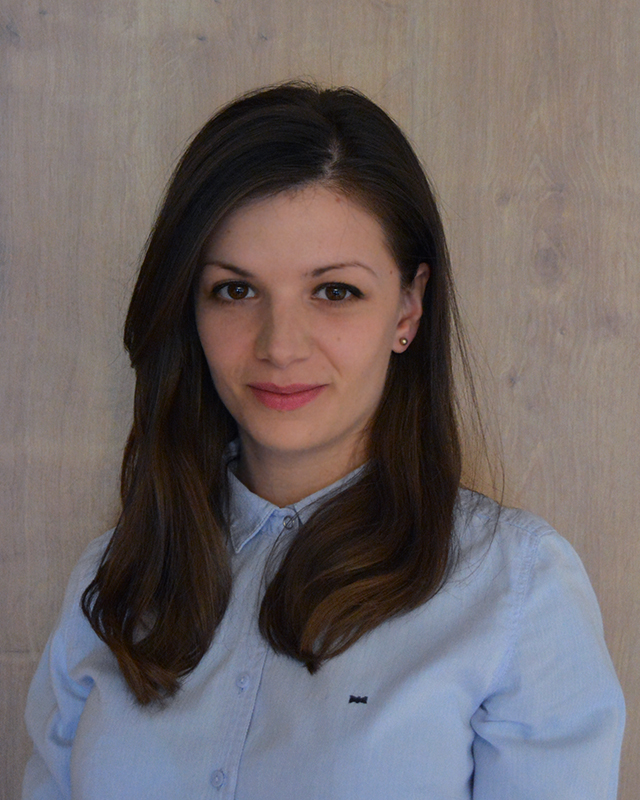 Marta Gabryś
Ph.D. Student
A graduate of Geodesy and Cartography field of study, Faculty of Mining Surveying and Environmental Engineering, Department of Engineering Surveying and Civil Engineering at AGH University of Science and Technology. Currently, a PhD student conducting research in the discipline of Civil Engineering and Transport.
A member of the AGH team, which was carrying out research task of validation of UAV technology and laser scanning for the purpose of soil substrate recognition in the project of "Modern methods of soil substrate recognition in the road construction", financed by the National Centre for Research and Development and the General Directorate for National Roads and Motorways under the Joint Undertaking "RID - Development of Road Innovations". Professional experience gained as a senior CAD specialist, performing work in the field of as-built 3D inventory of industrial, cubature and infrastructure construction.
Scientific career relates to non-destructive testing methods, particularly in the field of using the ground penetrating radar method to acquire and verify information about the underground utility networks. PhD thesis aimed at using of advanced GPR data modeling and processing algorithms in order to increase the automation of their analysis and interpretation.
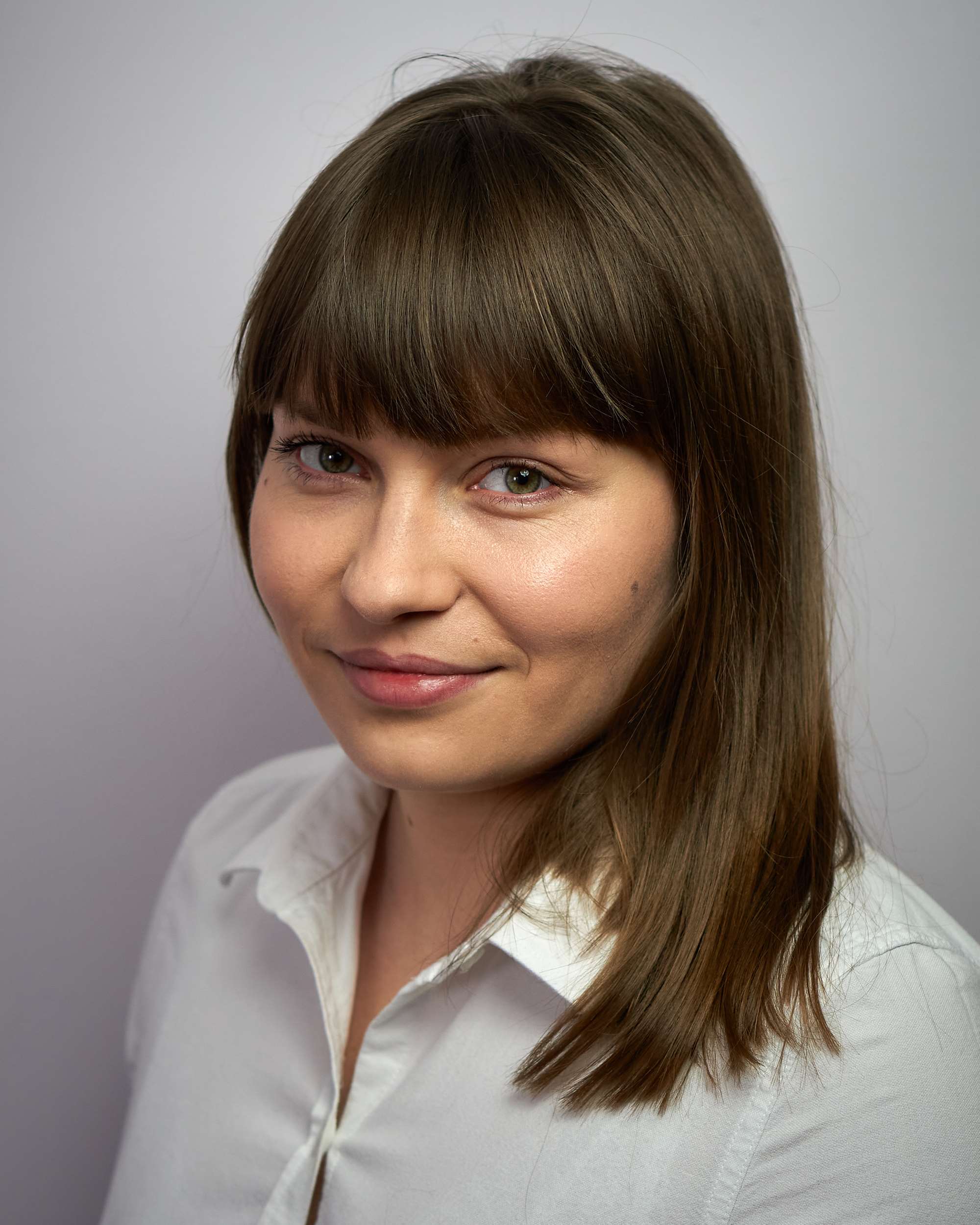 Karolina Tomaszkiewicz
Ph.D. Student
A graduate of construction at the Faculty of Civil Engineering of the Cracow University of Technology, specialization Bridges and Underground Structures. She has two approaches to her career. She is professionally involved in the design of engineering structures with their foundations. At the same time - as a PhD student and member of the Information Technology in Civil Engineering Research Group at the Faculty of Mining Surveying and Environmental Engineering of the AGH University of Science and Technology - she deals with the implementation of BIM technology in infrastructure projects. She see the great potential and the need for implementing solutions based on BIM and GIS tools. These solutions will help to make the right design decisions and, consequently, create useful and optimal design solutions.
A graduate of postgraduate studies "BIM-modeling and management of information about objects, infrastructure and construction processes" at the AGH University of Science and Technology in Cracow. Certified BIM coordinator (European BIM Certification Center). Winner of the Competition for Young Engineers (2019 edition) organized by Builder. Winner of the "Competition for the best diploma thesis in the field of transport for Cracow universities".
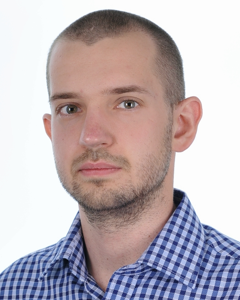 Szymon Glinka
Ph.D. Student
PhD candidate in the field of Civil Engineering Faculty at AGH University of Science and Technology in Cracow (AGH UST) and also graduate of Geodesy and Cartography at AGH UST, student of Management with specialization Project Management at SGH Warsaw School of Economics, participant of BIM Postgraduates Studies. Attendee at national and international conferences about BIM and GIS. Member of Information Technology in Civil Engineereing Research Group.
Winner of the competitions for the best Engineer's Thesis in field of Transport organized by SITK RP in Cracow. He emphasize the constant development of himself, and try to boost his skills in programming, BIM and Project Management.
In his research, he focus on BIM and GIS integration, Open Geospatial Data and Project Management, especially in Construction for infrastructural investments.
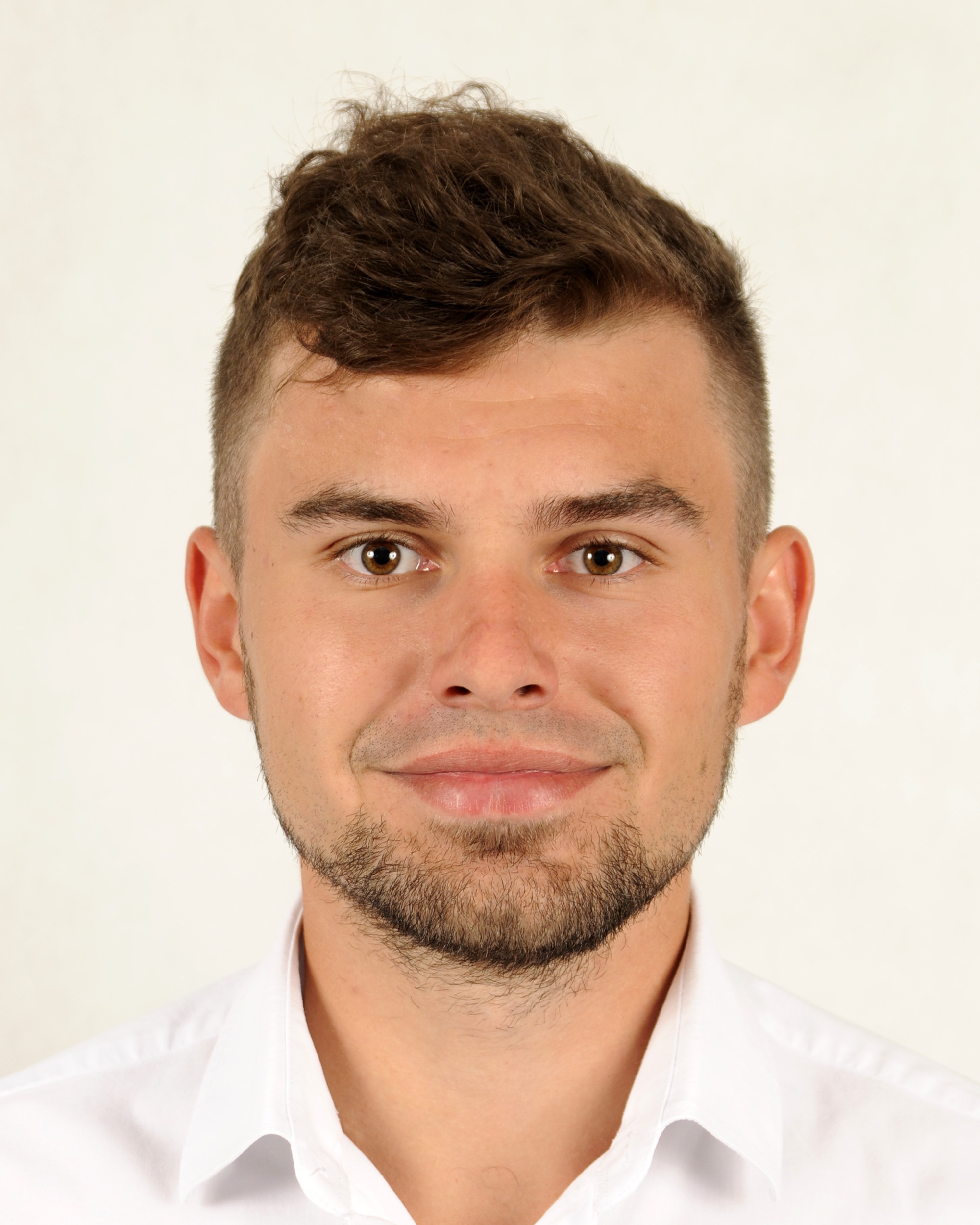 Daniel Janos
Ph.D. Student
Currently a Freelance Python Developer and PhD student at the AGH University of Science and Technology in Cracow in the field of Civil Engineering and Transport.
He is distinguished by such personality traits as an open mind, ingenuity, diligence and resourcefulness. He has a great willingness to learn and explore knowledge (both in the field of IT, as well as geodesy, electronics, mechanics, automation and robotics, and construction). He has manual and workshop skills. Patience and the ability to keep order help him achieve success in carrying out any task. He can work both individually and in a team.
In spare time Daniel is electric guitar, mountain climbing and cycling geek!
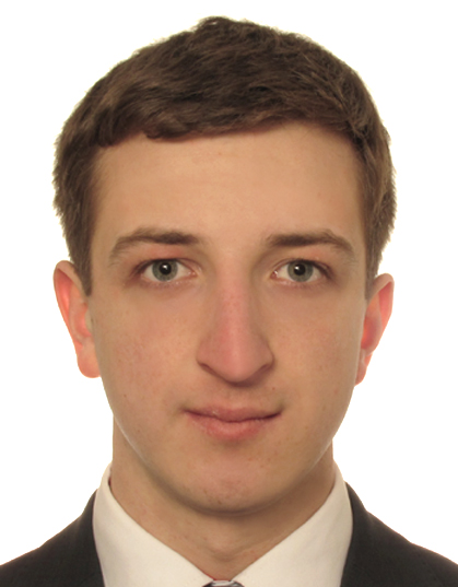 Michał Czernecki
Ph.D. Student
A graduate of Geodesy and Cartography field of study, Faculty of Geo-Data Science, Geodesy, and Environmental Engineering at AGH University of Science and Technology. A PhD student conducting research on usage of UAVs in Engineering Surveying.
His field of research combines two of his intrests: Engineering Surveying and Unmanned Aerial Vehicles. He sees great future in UAVs technology and belives that high precision surveying is next and necessary step in drone technology. He develops inspirations and new ideas directly from the industry. He is an outside of the box thinker.
He gained field experience during construction service of high volume investments and S7 route construction Lubień – Skomielna Biała with tunel drilling under the Luboń mountain. Recently he runs his own company in the field of surveying.
He gained scientific experience by participation in ISMOP and RID projects.


